peteroli34 wrote:Biscione wrote:
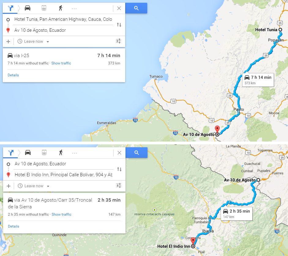
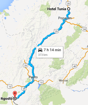
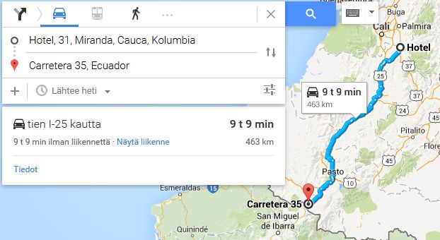
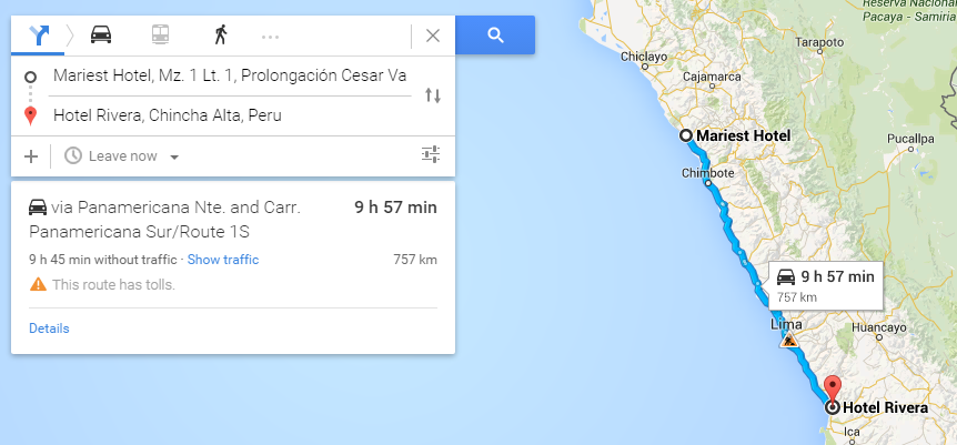
No, what bothers me is this - when the alternative routes dry up, and teams are stuck to taking the same route for much of the journey, the winner becomes a question of whoever logs on at the right time to suffer from the least traffic. At least half of all participants instantly get put on the back foot. Even if I put in effort to do as good a leg as possible, it can often go to waste because of the time of day I participate.
Perhaps, like what This suggested before, the challenges should be segmented into 2, 3 or 4 components, with the person with the highest points combined between these elements the winner. And with leg times calculated sans-traffic....
That is a problem most people have used exactly the same route on this race that's why id quite like to do my idea at some point where you have to visit certain locations but you get to choose where you start and finish and in what order to visit the destinations
Considering the interest here is slightly average, i will launch my proposed challenge somewhere in the end of july, in the F1 summer break. I'm also choosing this date so there will be a long enough gap between different challenges.
However, i have a very interesting idea in mind, that will defenitely be different and exciting, and offers a possibility for an actual championship. Stay tuned, more information somewhere in july! (obviously i'm not telling it yet, i don't want someone else to steal my ideas)
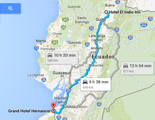
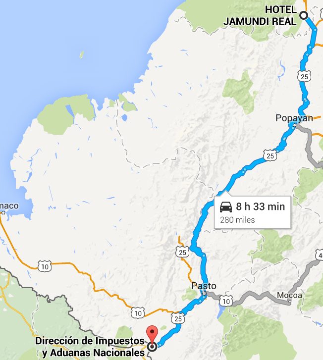
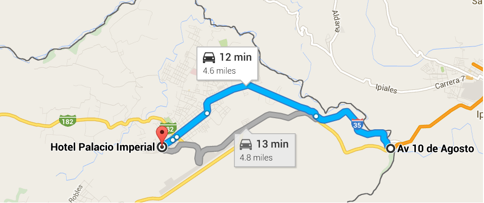
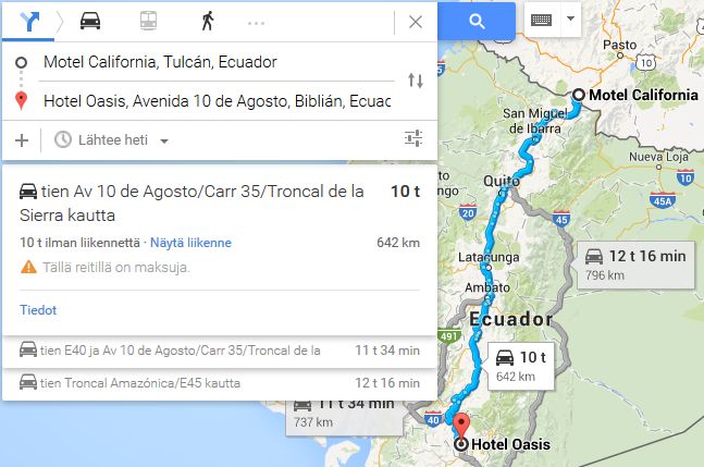
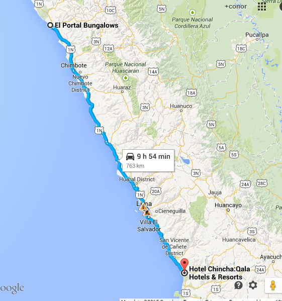
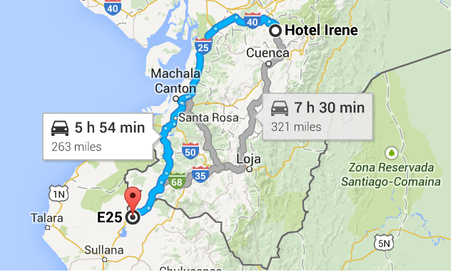
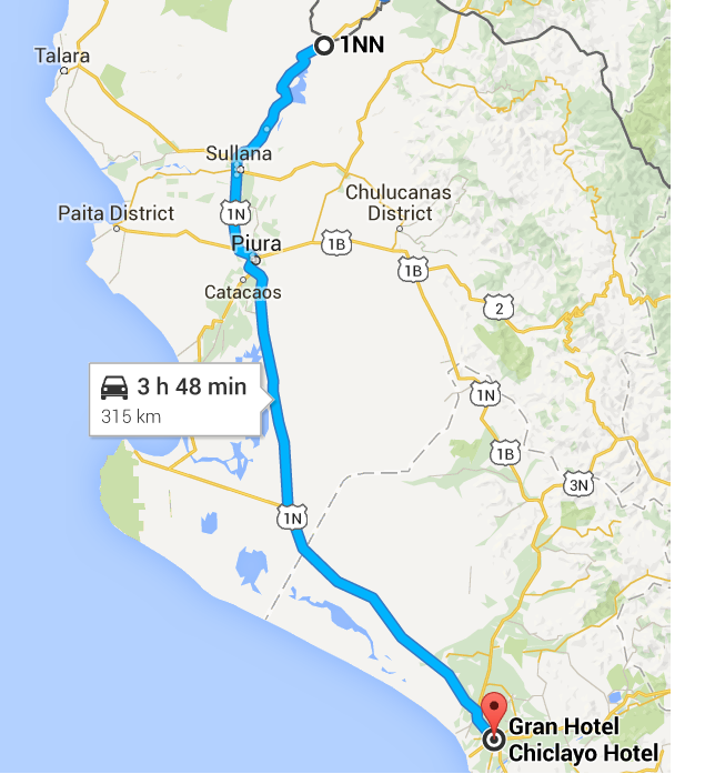
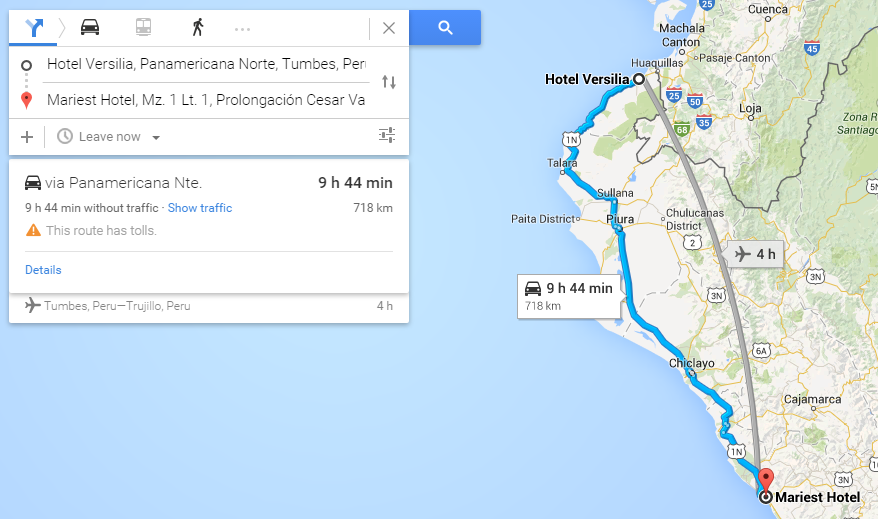
The problem with this current challenges lies in 4 things: 1) lack of strategic differences. The route is very straightforward. The Transamericana looked promising at first glance, but it turned out to be slightly boring. Europe, Africa and the Middle East allow for more tactical variety. Eastern Asia will likely have similar problems. Oceana seems extremely boring, and there is no need to comment on the strategic possibilites of Antarctica.
I am partially guilty of this by suggesting the Transamericana in the first place.
Bisciones point about traffic having a huge influence here is indeed a bit of a problem, as not everybody lives in the same time zone.
2) Shadaza doesn't have enough time to run this properly. Different teams missed deadlines without any consequences. Thanks to Simtek, we got a little bit of an idea of where everyone is, but the fact is that Shadaza kind of underestimated it. Or maybe he had unforeseen circumstances in his life. Points is, Peteroli and that other guy that wanted to do a challenge, i hope you understand that running this is
very time-consuming.
3) Shadaza didn't have the time to run the previous challenge properly either. Altough it was a learning experience for everyone, the fact that the standings of the previous challenge still aren't announced yet, has probably scared of some potential participants.
4) Bad timing.
@Shadaza, don't take this personally, but yeah, you did kind screw up a little bit


